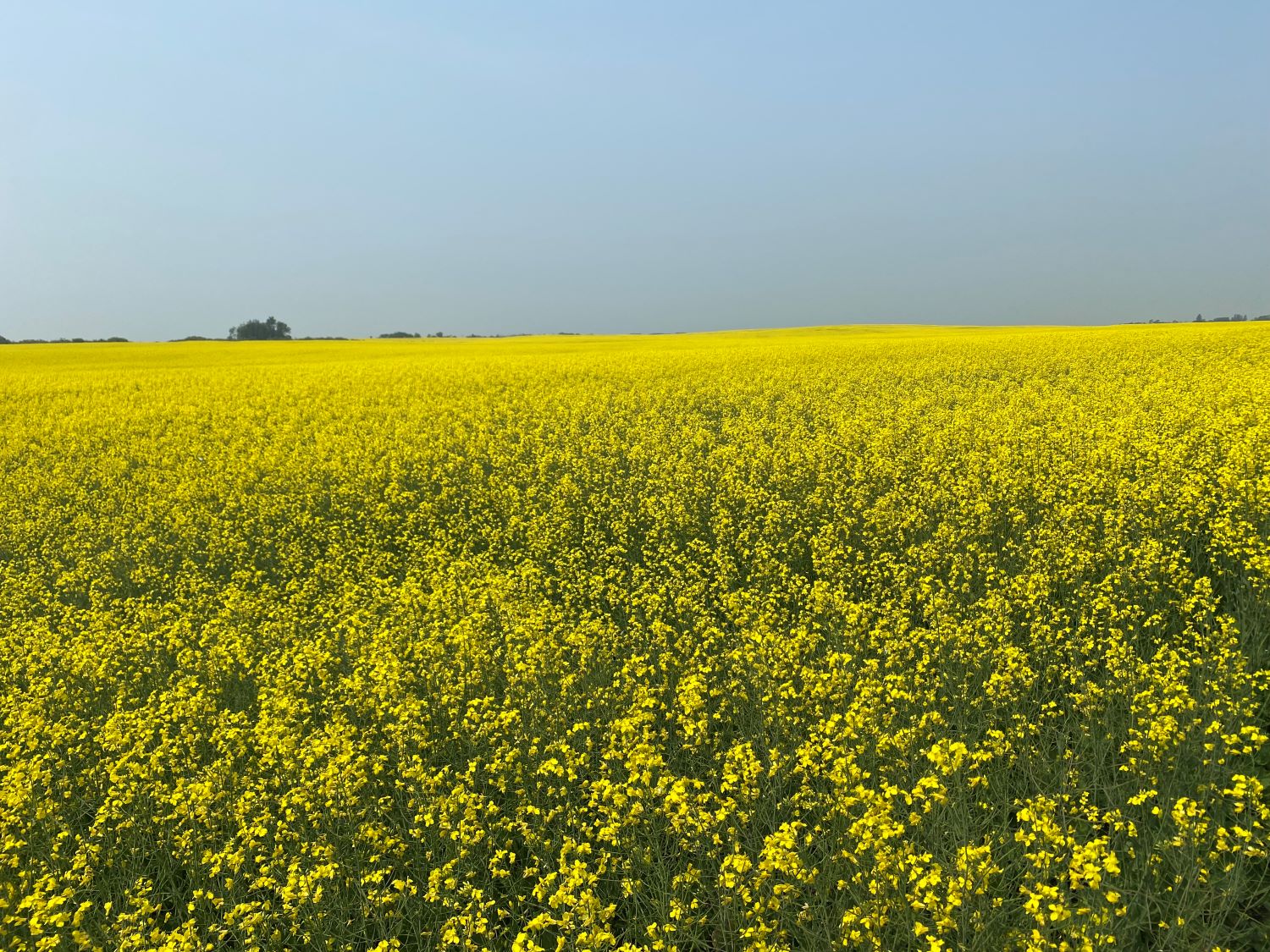
[2023 – Saskatchewan, Canada – 190 km – 4 days – trail runs from Russell to Neepawa, Manitoba]
I have that worrying feeling again.
At the information centre in Russell, the gentleman at the counter does not know where the trailhead is for the Rossburn Subdivision Trail, nor has he even heard of the trail, nor does he know that the Great Trail (née the Trans-Canada Trail) goes right through the very town in which he is dispensing information to tourists.
Not for the first time, I think that no one has ever asked for the location of the trailhead.
Perhaps the trail is seldom used.

–
I take a map of Russell and sit at a table in the information centre.
I look up the Rossburn Subdivision Trail on numerous websites that promote the trail, including the official website, several popular blogger sites, and the Explore Magazine website.
Nowhere does it say precisely where the trail starts in Russel and where it ends in Neepawa- only the names of the towns are listed.
The Rossburn Subdivision Trail is part of the Great Trail.
Using the Russell town map, and cross-referencing with my Great Trail app, I check out all of the places where the trail crosses a road in town.
It looks like the most likely place for a trailhead is by the old grain elevator near the corner of Alexandria Avenue and Rosnoski Drive.
I drive there and find a sign for the Rossburn Subdivision Trail.

–
I park my van, grab my backpack, and head out on the trail.
This is a multi-use trail, but I quickly discover that it’s not really designed for a through-hike.
The trail follows an old railbed, and while it is groomed near the villages it passes through, between villages, it is overgrown in most places with grass and weeds.
In the entire four days I spend on the trail, I do not meet any through-hikers, nor do I meet even a single day hiker.
In Angusville, I meet a woman walking her dog, and she is curious about me, having never seen anyone wandering through town wearing a backpack before.
She tells me that no one really uses the trail, except in winter, when it is groomed for snowmobiles.

–
Much of the trail parallels highway 45, only about thirty metres from the highway.
Where the trail is particularly overgrown, I wander out to the road.
Considering that this is a historical trail, I am surprised to find very little information about it along the route, except for a few information boards in the town of Rossburn.
But those information boards are old and faded and hard to read.
Newer signs along the route don’t talk about the trail at all; they only promote the Trans-Canada Trail and the partnership with the community.

–
I worry that the trail, much like the Countess of Dufferin locomotive and the Canadian Northern Railway whose route the trail follows, will eventually disappear into the lost memories of our ancestors.
I’ve been wondering how I might get back to my van at the end of my hike; there is no public transportation, so I will probably need to hitchhike or walk back.
By the end of the second day, however, I’ve had enough of the trail.
I pack up my tent and I walk back the way I came, covering about 190 km.
The trail has an interesting history, best captured by simply visiting the towns along its route, but it’s not much fun at all as a through-hike.

