Quick update to this point. In 2017, from April 21 to July 5, I walked from Halifax, Nova Scotia to Gull Lake, Saskatchewan, where I pulled myself off the walk to deal with some health problems. I intended to finish the walk during Canada’s 150th birthday, so I decided to get back on the trail early the next year, on March 12th, heading from Vancouver, British Columbia to Gull Lake, Saskatchewan, essentially meeting in the middle, what long-distance hikers call a flip-flop route.
I did this to try to follow the good weather, but when I arrived in Fernie, British Columbia, I decided to take an extended break for about two weeks while I waited out some Albertan arctic temperatures. For the next ten days, the temperatures in Alberta were hovering around -30 degrees, which was a little too extreme even for my winter sleeping bag. When I started out again in Fernie to finish the final nine days, my mother joined me in a support vehicle, which meant I could carry a day pack and stay in motel rooms most nights.
I provide this summary because somehow over the years since 2018, I have lost my trail notes. I had kept them electronically, and likely through an error of my own making, they have vanished. I did, however, manage to download my photos onto my computer. This last post, then, will be a long string of selected photos (64 in all). I have put some captions in where I think my memory still serves me well, although more than six years later, they are a bit shady. That is why trail notes taken at the time of the event are more reliable than memories. I finished the walk on April 27, 2018, more than a month before Canada turned 151 years old.
Here you go, then: the rest of the walk across Canada.
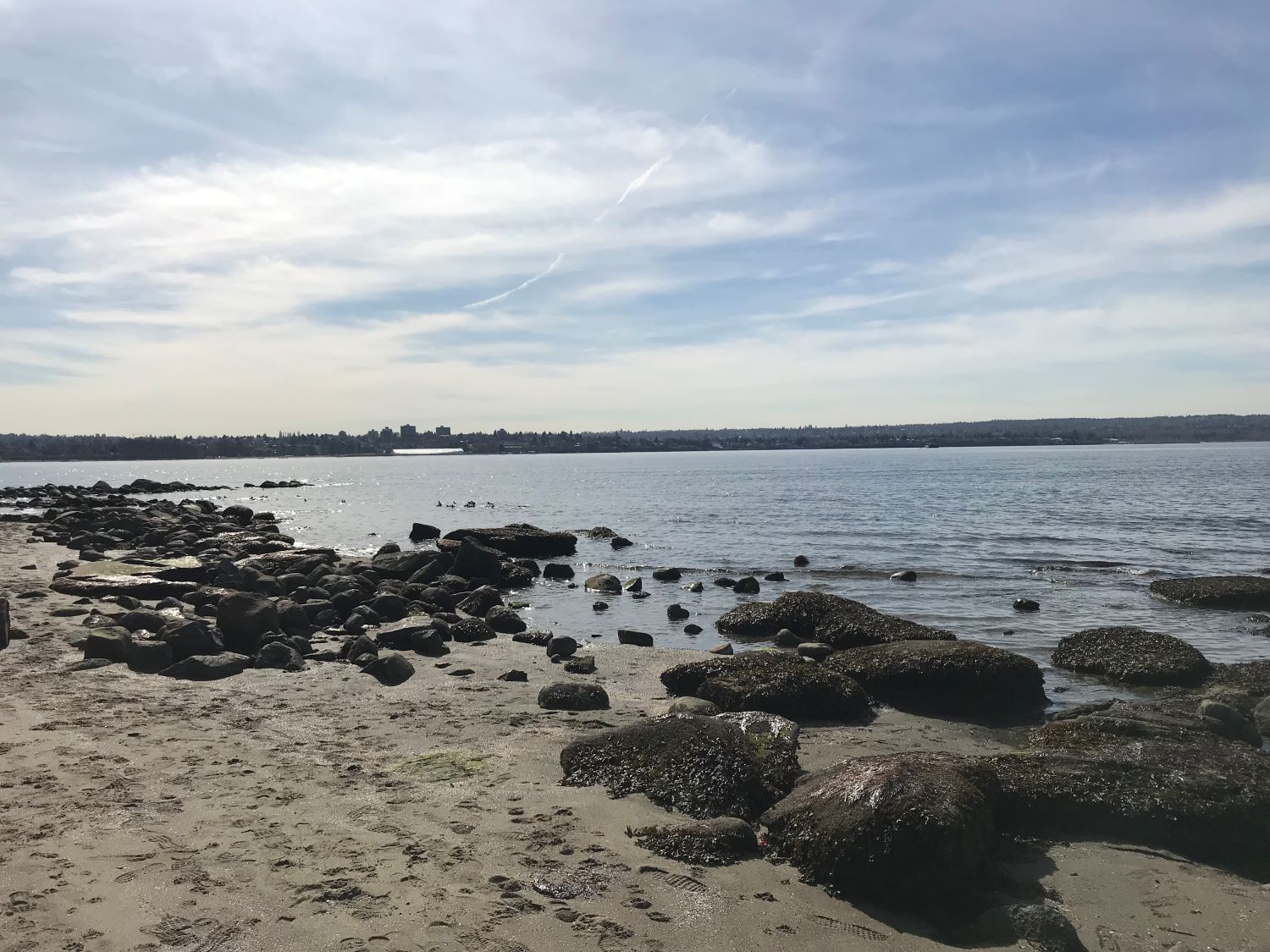
I started this last part of the walk on the Pacific Ocean side of Canada, at the beach in Stanley Park at the Burrard Inlet.
Carrying a pack this time instead of pushing a jogging stroller.
Walking through Vancouver along the Vancouver Harbour.
A Fraser Valley sunset.
Cold days, but snow-free so far.
Camped along the Fraser River.
Someone was creative. A nice touch for Canada’s 150th birthday.
Along the Fraser River Valley
Rockfall near Hope, British Columbia
Sasquatch – a British Columbia symbol
Out of the valley and into the first of the mountains, the Cascades. There are four mountain ranges between Vancouver and the Alberta border along my route: Cascades, the Monashee Mountains, the Selkirk, and the Purcell.
Hope Slide. On January 9, 1965, an earthquake caused a landslide just outside Hope, British Columbia, killing four people who were buried and crushed in their automobiles.
Along the road near Manning Park.
A well-earned meal at the restaurant in Sunshine Valley.
Canada Geese on the Similkameen River
Along the Similkameen River Valley
After several cold, wet days, I decided to take a motel room to enjoy a shave, hot shower, and to dry out my kit.
Similkameen River east of Princeton near Bromley Rock Provincial Park.
Hedley, British Columbia, an old gold mining town that is still home to about 260 people.
Rockfall along the highway in the Similkameen Valley.
Similkameen Valley
Spring is just arriving in the Similkameen Valley.
Osoyoos, British Columbia, home to Canada’s only desert, at the south end of the Okanagan Valley.
The winding highway I climbed just east of Osoyoos.
Anarchist Mountain between Osoyoos and Rock Creek. All smiles after that long climb.
Just west of Rock Creek.
Lunch in Rock Creek, population 185.
Along Rock Creek, a place I’d like to fix up to live in, well for summers anyway.
Arriving in Midway along the Crowsnest Highway.
Snowstorm east of Christina Lake. I am walking and icicles have formed on my eyelids. Surprisingly, a woman cycles past me, wearing a snowsuit. Her bicycle is packed for touring. Without stopping, she looks back at me all smiles and yells into the fierce wind: We’re living our best lives, Baby! Woohoo!
Fresh snow. Doesn’t look much like spring.
Kootenay River.
In Salmo, where I’m told by some locals is found the world’s best-tasting water. I try some and it’s like nothing I’ve ever tasted before. So pure.
The Kootenays
A nice place to take a break from walking.
Resting weary feet.
Yahk, gateway to the Selkirk Mountains. It was here that a motel owner gave me a room for free and then invited me to dinner with his friends.
Moyie River
This gentleman is a school teacher from Alberta. He drove across the mountains to find me on the road and to tell me that he and his students were following my story on Facebook and were cheering me on to the finish. He asked for a couple of anecdotes to take back to his students.
The railroad follows much of the length of the highway through the valleys of British Columbia.
Selkirk Mountains
Splendid views along much of this route.
This tunnel is just west of Fernie. There is no room for cyclists or pedestrians inside. On the other side of the tunnel, there is a button that cyclists can push that will alert drivers that there is a cyclist in the tunnel. I tried pushing it, but it wouldn’t work. I walked through anyway, and on a curve in the tunnel, I could hear cars approaching both to my front and my rear. I squeezed up against the wall of the tunnel and the driver, with no time to maneuver once he saw me, missed me by just a few inches. It’s the closest I came to being hit on this entire walk. It certainly got my heart rate up, and only chocolate was able to restore my regular heart beat.
The snow arrived in Fernie and in the snowstorm, a vehicle drifted toward me in the turning lane. He couldn’t see his lane properly and seemingly wasn’t able to see me at all. To avoid being hit, I jumped into the ditch. It was in Fernie that I stopped for a couple of weeks to wait out the cold temperatures just across the border in Alberta. For the next ten days, the temperature hovered below -30 degrees.
After the temperatures dropped, much of the snow in the valley melted and I left Fernie on a beautiful, but still crisp, April morning.
Just west of the Alberta border.
The border at Crowsnest Pass. Just need to walk across Alberta and then a little ways into Saskatchewan to finish this walk. About 8-9 days to go.
Island Lake in Crowsnest Pass.
Mule deer in the Canadian Rockies
In the Albertan foothills of the Canadian Rockies
Prairie sunset.
The Alberta prairies, so different from the vast forests of British Columbia.
A Prairie sunrise
Big sky. To walk under this is so beautiful.
Goofing around on my second last day in Alberta, near the Saskatchewan border. [Photo by Derrick Steeves]
Early morning start on the last day of my walk. [Photo by Derrick Steeves]
My last break, with my last snack, on my last day.
Meeting my mother at a gas station, with six kilometres to go.
All finished at Gull Lake, Saskatchewan, where Derrick Steeves presents me with a jug of chocolate milk, a nod to when we served together in Germany during the late eighties, where, after a long hike in the Black Forest, we celebrated with chocolate milk.
Celebrating in Medicine Hat with an old bestie, Gregg Campbell, and his family.
[Photo by Derrick Steeves]
Approaching my finish line. [Photo by Derrick Steeves]
Gregg Campbell arranged for me to do a presentation for some high school classes before returning home to British Columbia. Great students, many of whom shared their own dreams with me afterwards.
The high school students presented me with a Canadian flag that many of them had signed, shown here with Gregg Campbell. Walking across Canada was a splendid way to celebrate Canada’s 150th birthday.