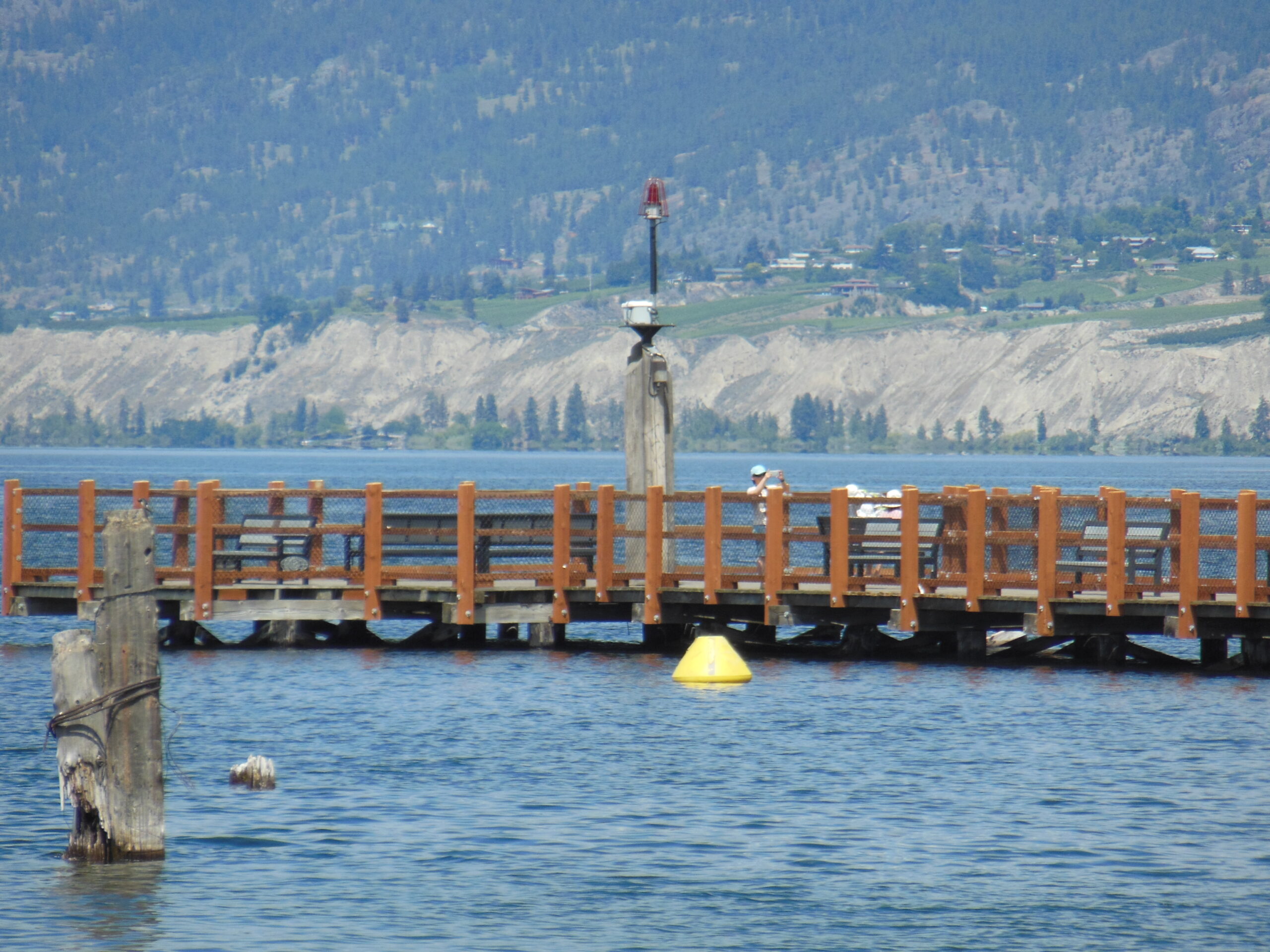
Penticton, British Columbia, didn’t rank well in Money Sense Magazine’s Best Places to Live in Canada. It placed 383 out of 415 locations in 2018, primarily because of the high housing costs and comparatively low wages.
But locals love their Penticton, and visitors love to come here for the relaxing beaches, outdoor adventures, and, of course, the wineries, 60 of which are within a 20-minute drive from the city.
Penticton is the perfect size for me; with about 32,000 year-long residents, it offers all of the amenities without all of the congestion. It is limited by size mainly because of its geography, with Okanagan Lake to the north, Skaha Lake to the south, Blue Mountain to the west and Campbell Mountain to the east. It holds an idyllic spot in the Okanagan Valley.

But on this day, I was not interested in the beaches or the wineries (well, maybe the wineries). I was interested in setting out for a long walk, without feeling the need to stretch my fitness by hiking up steep hills. With a trail that doesn’t exceed a two-degree gradient, the Kettle Valley Railroad (known as the KVR) was just what the doctor ordered.

Although the Canadian Pacific Railway (CPR) completed its Trans Canada rail line in 1885, the rail didn’t reach down into the Okanagan. Goods were transported to the railhead either by steamer on Okanagan Lake or by stage to Keremeos. It was only after silver was discovered in Nelson in 1887 that the potential profit of expanding the rail lines into the Kootenays was considered. Construction began in 1910 and the line from Merritt to Midway was opened in May, 1915.
By the early 1970s, with the expansion of road and air travel, forestry products were the only remaining commodity being shipped by CPR along the KVR. Soon after, lines were being closed and their tracks removed, with the final lines being closed in the 1990s. All of the tracks are now gone, except for a ten-kilometer stretch near Summerland, which was saved for the Kettle Valley Steam Railway, a now popular tourist attraction.

I started from downtown Penticton, following paved bicycle trails that eventually connected with the unpaved KVR at the slopes above Okanagan Lake. My goal was to reach the Little Tunnel about 19 kilometers away. The trail is wide, well used by hikers, dog lovers, and cyclists, and void of motorized vehicles.

Once the unpaved trail is reached at the south-east corner of Okanagan Lake, the next few kilometers are replete with incredible views of the lake, with Mount Nkwala directly to the west across the lake and the town of Summerland further north. With a quick look over your shoulder, you’ll see Mount Campbell protecting the city to the east. After a couple of kilometers walking past vineyards, the trail dips slightly to cross a gully, and this is where I came to the only trestle on this particular hike, McCullough Trestle, named after Andrew McCullough, who supervised the construction of the KVR. At the seven-kilometer point, the trail crosses Naramata Road, the primary access road to the beautiful little town of the same name. Within a few hundred meters, you will see Hillside Winery, which loves to cater to the hiking population. There is also parking there for those who wish to do the hike, but would like to cut the time by a third. (The parking lot a further seven kilometers along will cut the hike by two thirds.)

The trail continued to rise along its two-percent grade, past wineries, through forests, over creeks, and around rock outcrops, until I reached my destination. The views from Little Tunnel are spectacular and worthy of a 38-kilometer hike, even more so because of the historical context in which the trail was created.

